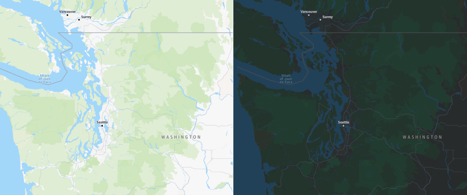
Standard map style
The Standard map style offers a clean, modern, and general-purpose map design that can seamlessly fit into almost any application or website.
Color scheme
The Standard map style comes in both light and dark modes. The light mode is versatile and can fit into any context, while the dark mode features a constrained palette, designed to show details clearly and maintain readability in darker environments. This ensures minimal distractions, especially in scenarios such as night-time navigation.
A pleasing, modern palette
Soft colors provide important land-use context without overwhelming the map, offering useful information at both high and low zoom levels. Zoomed out, features such as forests, deserts, and glaciers add richness to the map. When zoomed in, a range of colors highlights important landmarks like schools, hospitals, recreation areas (like parks and sports facilities), and urban districts like commercial and industrial zones.
The overall style features a cohesive color palette, including POI markers that complement their respective land-use areas. The road network is displayed in shades of gray, providing detail without overwhelming the map with bright, distracting colors.
Rich points of interest (POI)
The Standard map style supports a rich array of configurable points of interest (POIs). With just a few lines of code, you can select the POI categories relevant to your use case.

Designed for the world
The Standard style supports different political views, ensuring that maps display the correct borders for your users. The style also allows easy language switching for map labels, with dozens of supported languages and writing systems.
To learn more, see Localization and internationalization.
Land use
The Standard map style uses vibrant colors to indicate designated land uses. Greens represent forests, grass, golf courses, sports centers, and parks. Relevant colors are used for water bodies, glaciers, deserts, and beaches. Additionally, land uses such as commercial, industrial, airports, military zones, medical facilities, and educational areas are highlighted with specific vibrant categories.


