How to get a static map of a specific dimension
In this topic, you will learn how to set the dimensions (height and width) for static maps using Amazon Location Service. Customizing the dimensions of a map image allows you to balance performance, visual quality, and usability. The maximum values for both width and height are 1400 pixels, while the minimum values are 64 pixels. The maximum result size is 6 MB.
Additionally, you can use the bbox and bounds parameters along with padding to ensure that important map features near the edges are fully visible and not cut off.
Get map image with specific height and width
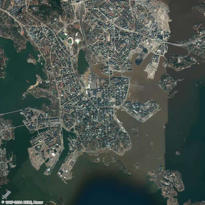
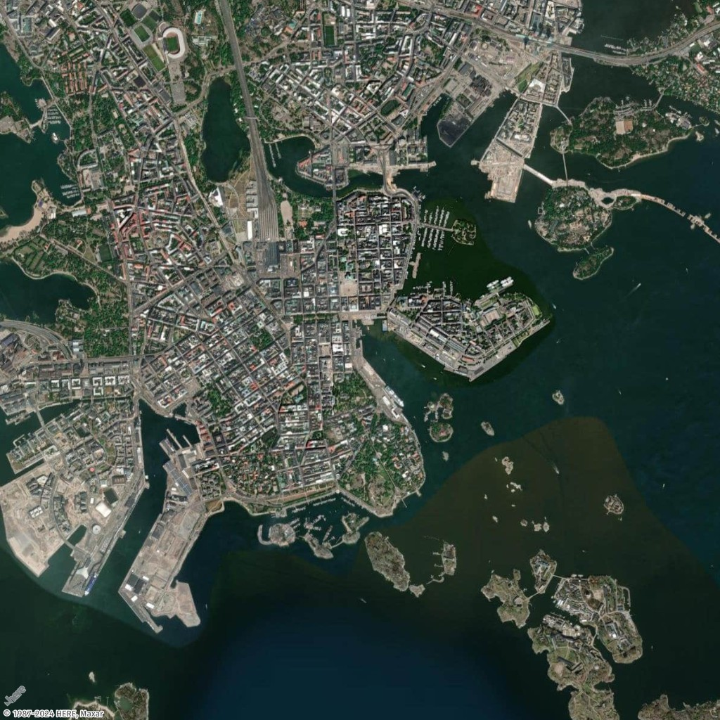
In this example, you will create a low-resolution and mid-resolution map image of Helsinki, Finland.
- Request URL for low-resolution thumbnail
-
https://maps.geo.eu-central-1.amazonaws.com/v2/static/map?style=Satellite&width=200&height=200&zoom=11.5¢er=24.9460,60.1690&key=API_KEY
- Response (Thumbnail 200x200)
-
- Request URL for mid-resolution image
-
https://maps.geo.eu-central-1.amazonaws.com/v2/static/map?style=Satellite&width=700&height=700&zoom=13¢er=24.9460,60.1690&key=API_KEY
- Response image (700x700)
-
Get map image with padding on all sides
In this example, you will generate a map using several must-see places in Helsinki, Finland, with their coordinates (longitude, latitude), both with and without padding.
- Request URL with padding
-
https://maps.geo.eu-central-1.amazonaws.com/v2/static/map?style=Satellite&width=1024&height=1024&padding=150&bounded-positions=24.9526,60.1692,24.9850,60.1465,24.9270,60.1725,24.9226,60.1826,24.9509,60.1675,24.9566,60.1685,24.9457,60.1674,24.9397,60.1719,24.9414,60.1715,24.9387,60.1720&key=API_KEY
- Response image (with padding)
-
- Request URL without padding
-
https://maps.geo.eu-central-1.amazonaws.com/v2/static/map?style=Satellite&width=1024&height=1024&bounded-positions=24.9526,60.1692,24.9850,60.1465,24.9270,60.1725,24.9226,60.1826,24.9509,60.1675,24.9566,60.1685,24.9457,60.1674,24.9397,60.1719,24.9414,60.1715,24.9387,60.1720&key=API_KEY
- Response image (without padding)
-